What we do
Engaging people in climate research creates awareness of environmental issues, enhances scientific accuracy, fosters a collective sense of responsibility, and empowers collective action towards effective and sustainable solutions for environmental challenges.
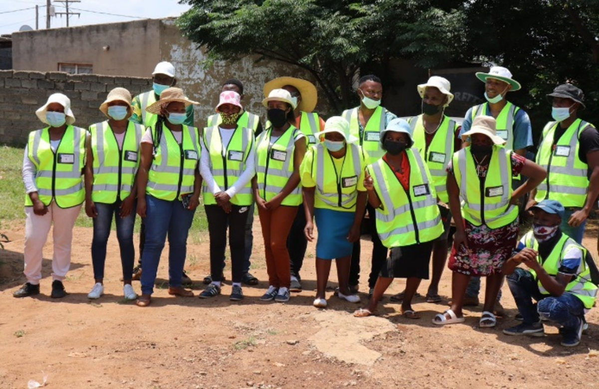
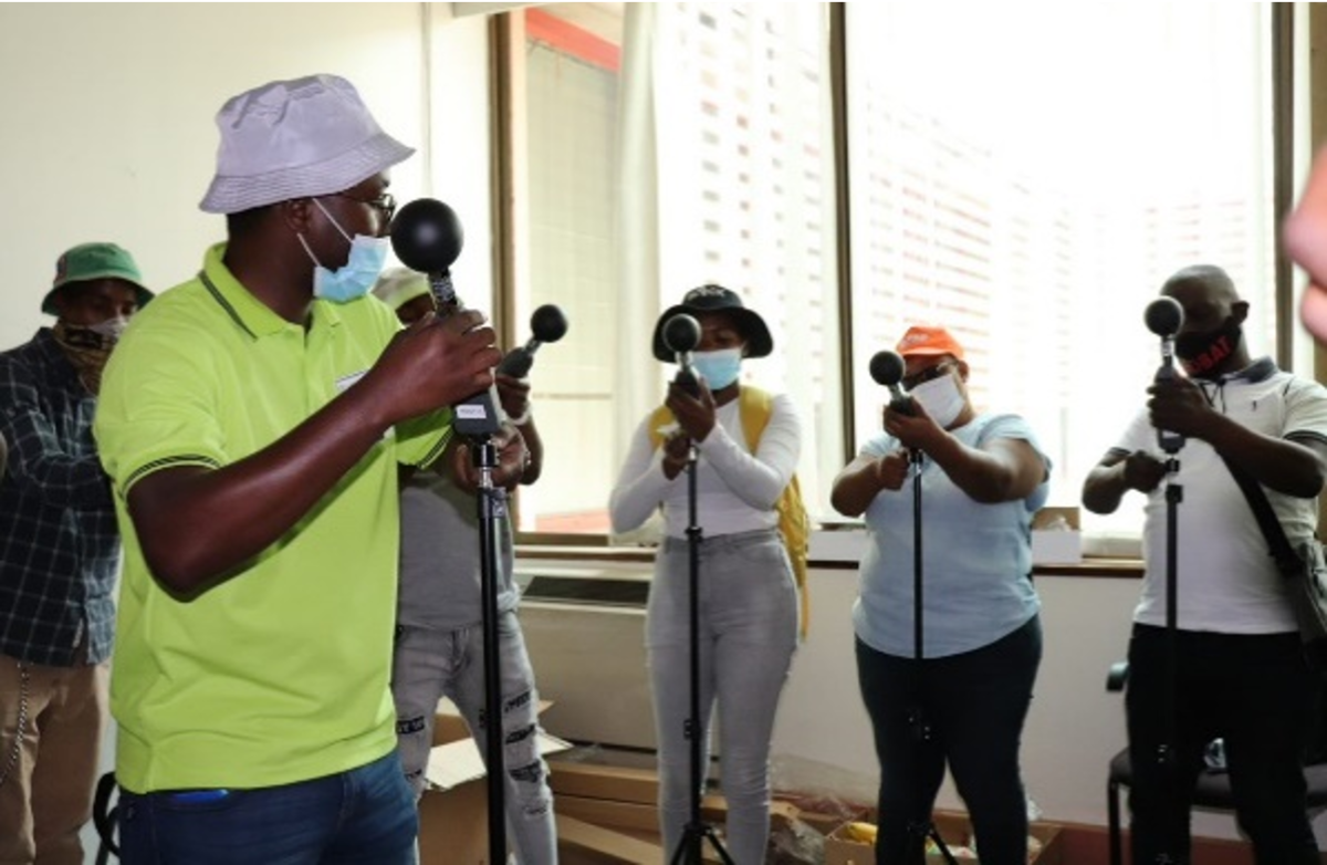
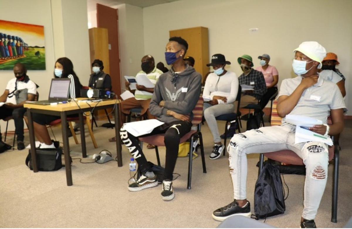
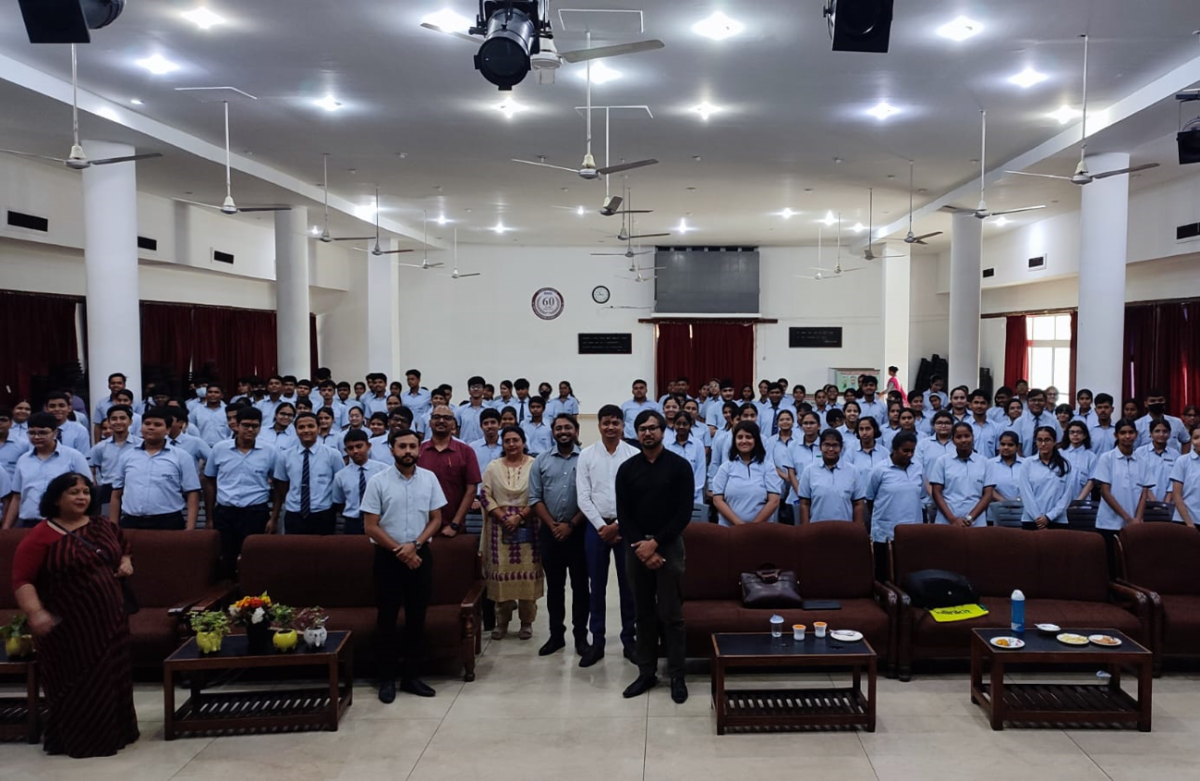
School kids, students, young volunteers, and citizens are actively engaged in our climate research activities. They fill observational gaps through exploration, mapping, and measurement campaigns.
Through hands-on involvement, these diverse participants not only expand scientific knowledge but also cultivate a deeper sense of environmental stewardship and responsibility.
Results
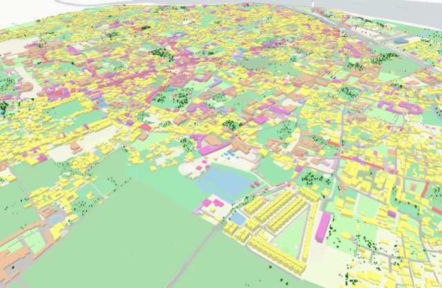
3D land use map of Ayodhya (India), as a result of a land use mapping campaign by local students.
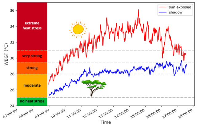
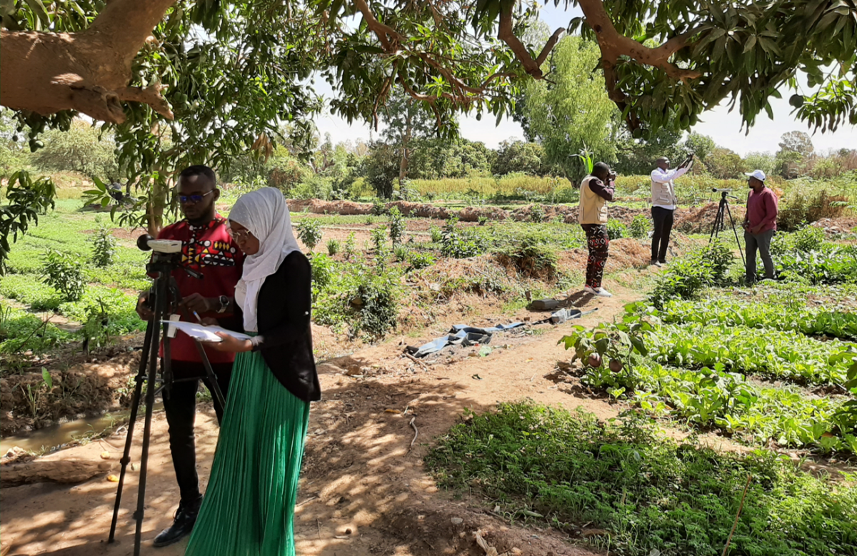
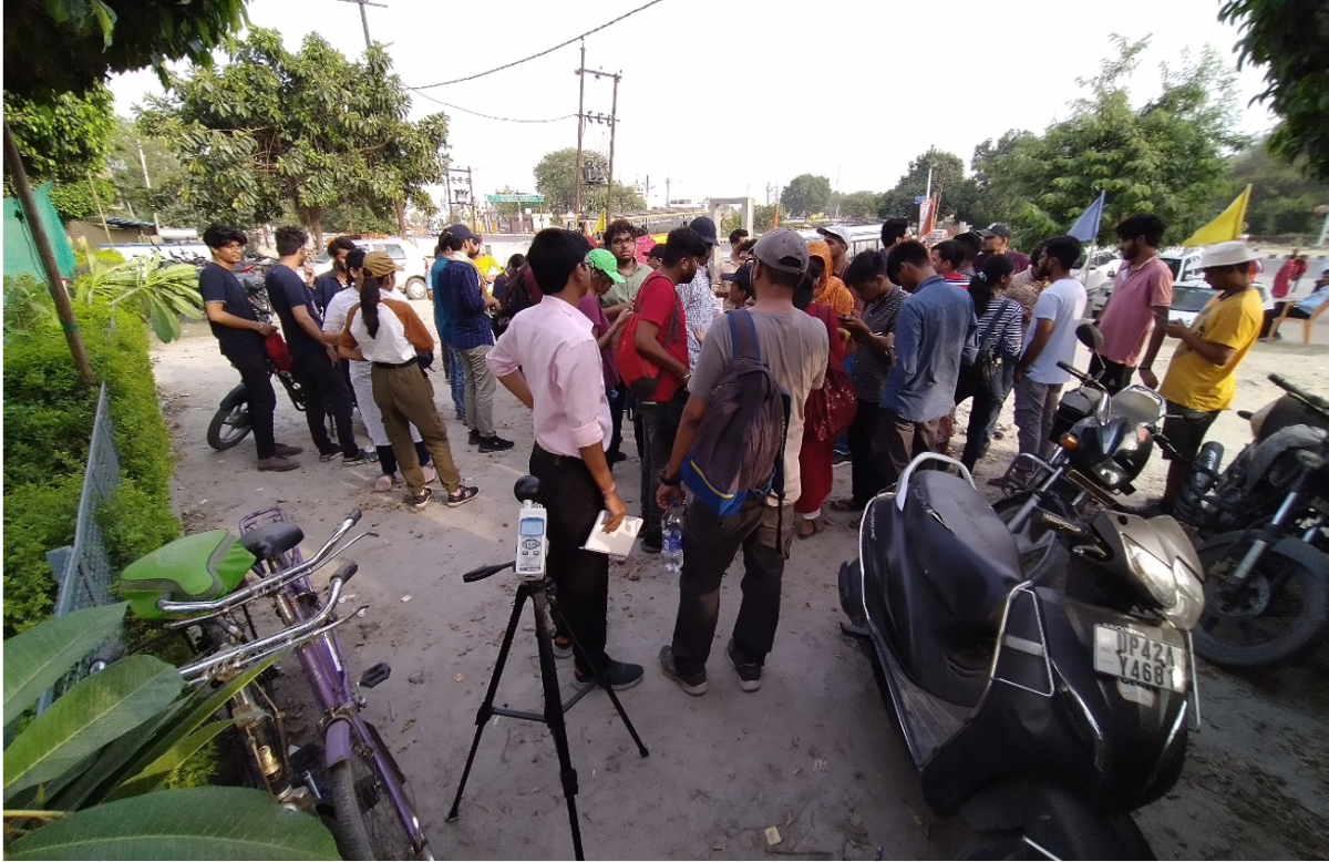
Results of Wet Bulb Globe Temperature measurement campaign by local volunteers in Niamey (Niger), providing very compelling evidence of the cooling effect of trees.
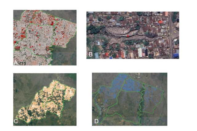
Results of community mapping campaign in Kinshasa (DR Congo), revealing A) waste cover points, B) an illegal waste dump in Ndjili, C) waste heaps, and D) drainages.
Showcase projects


Community-based mapping, Kinshasa

Publication in the spotlight
Abstract
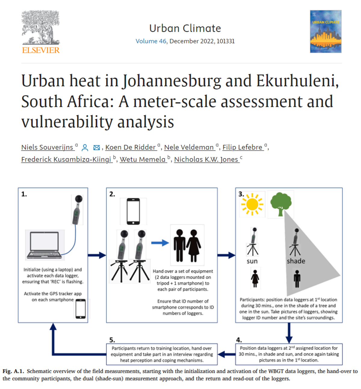
Heat stress is an important threat for human health and urban areas are affected at higher rates compared to rural environments. Additionally, climate change will increase the vulnerability towards urban heat stress in the future. Current high-resolution urban heat stress assessments are limited in time and space due to the high computational costs. In this paper, the UrbClim numerical model is used to simulate urban heat accurately at a fast rate and high spatial resolution for the cities of Johannesburg and Ekurhuleni, South Africa. Using detailed terrain information, (future) urban heat stress assessments are provided at 30 m resolution for both city agglomerations, while meter-scale simulations are executed for a selection of neighborhoods. These model simulations are evaluated using an extensive monitoring campaign in which the local community was heavily engaged. Distinct spatial differences in the urban heat island effect are observed, with greatest heat stress in areas with high building densities and low vegetation numbers. These areas are often characterized by lower socio-economic living conditions. The meter-scale analysis further shows the importance of shade provided by vegetation to lower heat stress in both present and future climate. These assessments offer assistance in the design of climate-resilient urban planning strategies.
Gallery