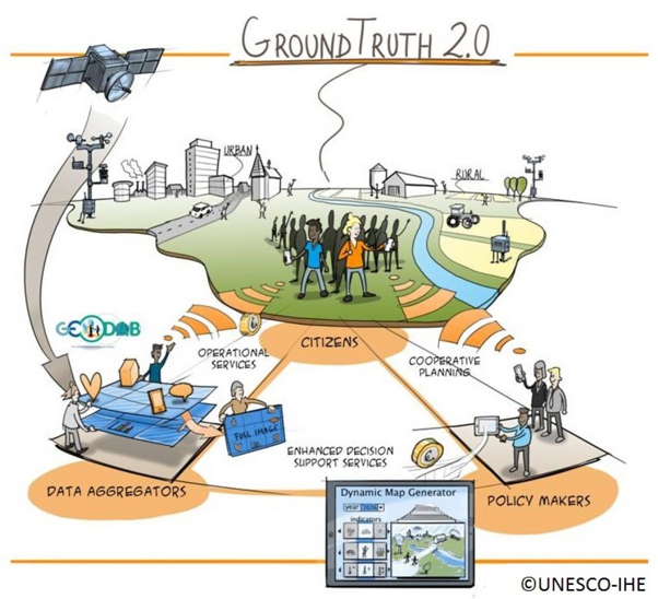
Strengthen the full feedback-loop in the chain from citizen-based data collection to knowledge sharing for joint decision-making and cooperative planning
Context
Citizen science is on the increase. Using their own observations and mobile devices, citizens can provide a new data stream of local information about their environment, complementing existing systems and data sources.
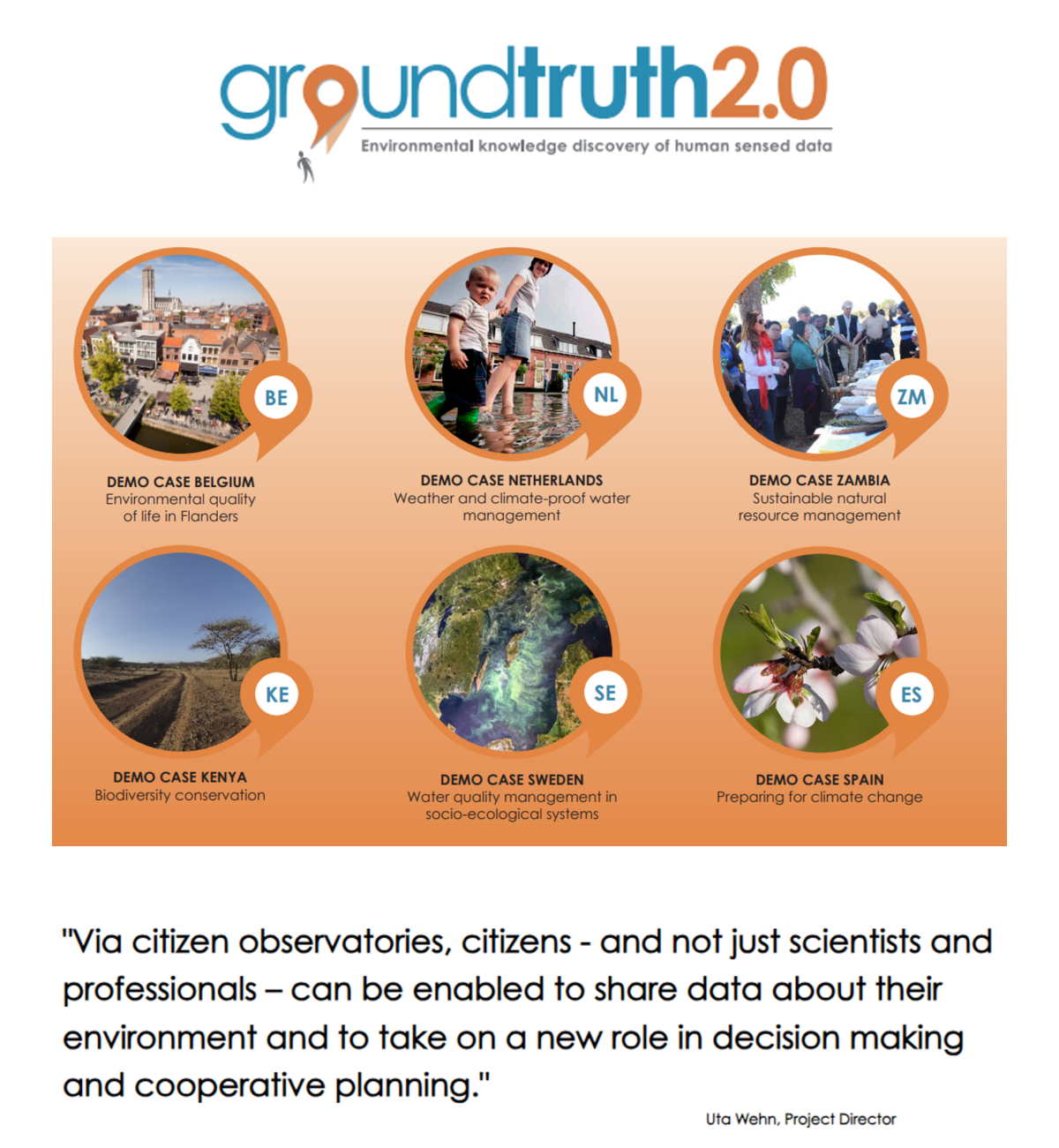
Ground Truth 2.0 was a 3-year EU funded project (Horizon 2020) that set up and validated six citizen observatories in real conditions, in four European and two African demonstration cases (Ground Truth 2.0 Citizen Observatories - Ground Truth 2.0 (gt20.eu)).
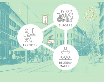
The thematic focus of Ground Truth 2.0 was on flora and fauna, as well as water availability and water quality, for land and natural resources management. The project used mobile apps and social media analytics to collect explicitly and implicitly-sensed citizen data. As such, citizens were enabled to share data about the environment and to take on a new, crucial role in environmental monitoring, decision making, cooperative planning and environmental stewardship.
Objectives
The objective of Ground Truth 2.0 was to set up and validate citizen observatories in real conditions, and to demonstrate that such observatories are technologically feasible, can be implemented sustainably and that they have many societal and economic benefits.
The ultimate objective was the global market uptake of the concept and the enabling technologies.
Ground Truth 2.0 recognised the importance of real-life interaction between people and technology to set up a successful system. Its innovative approach combined the social dimensions of citizen observatories with enabling technologies, so that the implementation of the respective citizen observatories was tailored to their envisaged societal and economic impacts.
Highlights
- Fully functioning & active citizen observatories for land resource management at the six demo sites;
- Functional mechanisms for cooperative planning and increased environmental stewardship;
- Technical solutions & protocols, incl. for layering & aggregating data before passing it on to other actors;
- Data fusion and data quality assurance mechanisms (spatial, thematic and temporal);
- Land Use Mapper – innovative web-based service for world-wide mapping and updating of land use;
- Integration of citizen-sensed data into GEOSS at the same level as in-situ observations;
- Data policies & practical guidelines re. privacy;
- Comprehensive impact assessment, incl. evidence of cost-reduction of in-situ observation using citizen-sensed data;
- Sound business models ensuring the long term sustainability of the COs of the demo cases;
- Guidelines for setting up sustainable citizen observatories.
Facts
Budget: € 4.975.093,89
Funded by the European Commission (Horizon 2020)
Implemented by the Ground Truth 2.0 consortium, i.e. Stichting IHE Delft; Hydrologic Research; Stichting Akvo; Tygron Serious Gaming Bv; Starlab Barcelona; Altran Innovacion; Centro De Investigacion Ecologica Yaplicaciones Forestales; Stockholms Universitet; Gavagai; Conservation Education And Research Trust; Trans-African Hydro-Meteorological Observatory; Upande Limited; VITO; World Wide Fund For Nature.